
~Hopes Dented~
30th March 2013
How far would you travel to witness something special? The steam engine: "Union of South Africa" was due over the Ribblehead Viaduct at 11:30hrs and a union of South Africans were visiting the area to see the event.
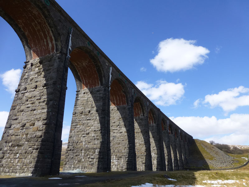
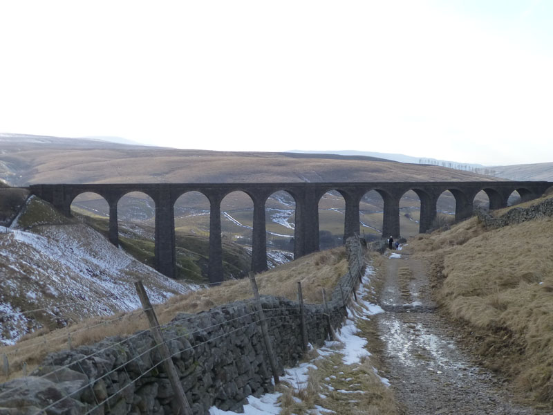
Ribblehead Viaduct
Scroll down for photos and a description of the walk....
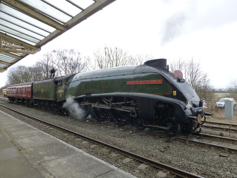
LNER A4 Class 4-6-2 no 60009 Union of South Africa at Hellifield
Today's charter train will convert from diesel to steam at Hellifield and No.60009 is warming up ready for the arrival of the train from Leicester. I have arranged to collect South African, Richard, from Skipton station. He is on holiday from Pretoria, staying with his son (Ken) in Croydon. The two, plus nephew Pete, have caught the 07:03 from Kings Cross and expect to be at Skipton at 10:15. This train is due to leave here at 11:01.
 |
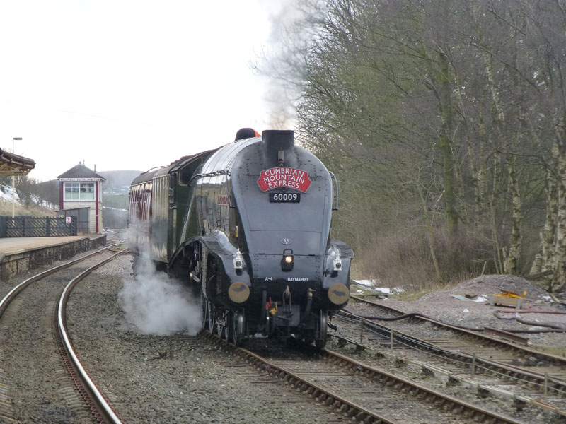 |
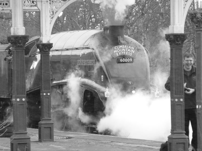
Union of South Africa
Disaster: the London to Leeds train was delayed by 50 minutes due to "overhead line problems" and so the three travellers didn't arrive in Skipton until 10:50. I had already seen the charter train, on time, power through Skipton so there was no realistic chance for us to see the steam train in action.
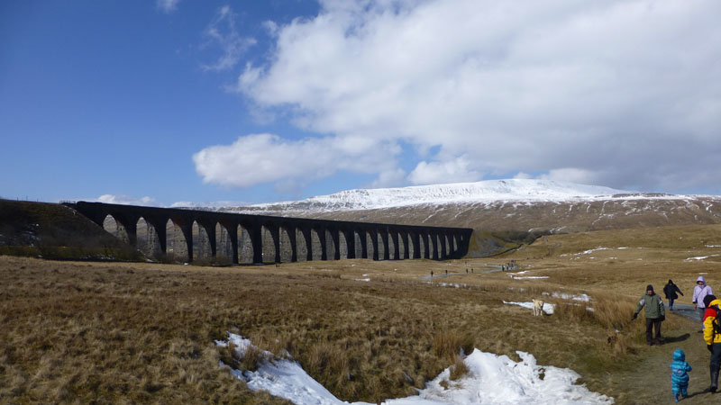
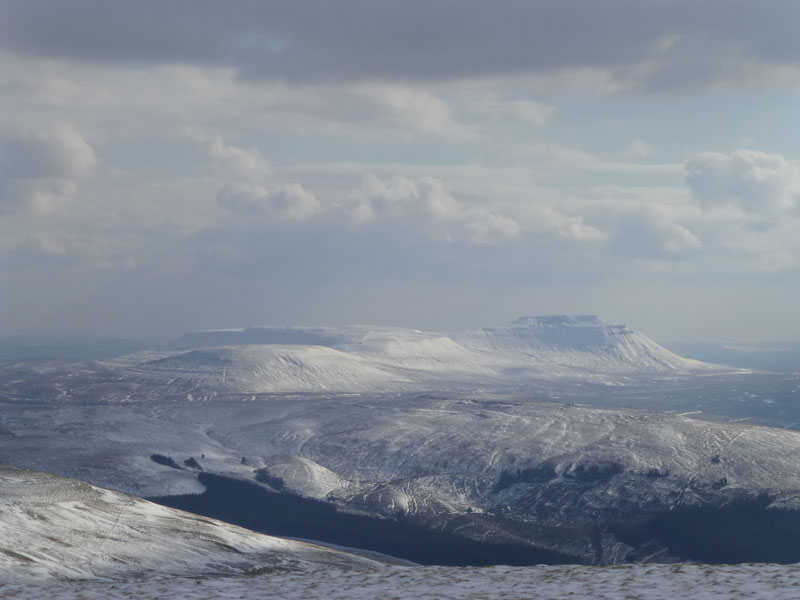
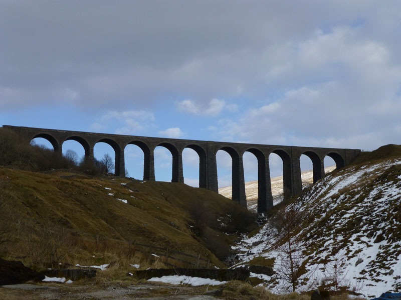
Whernside and The Ribblehead Viaduct
Ah well, not to be completely defeated, I met Richard, Ken and Pete at Skipton and took them to Ribblehead. This viaduct is a Scheduled Ancient Monument; the area is always a special place to be and never more so than on a day like today. It was a little gauling to be passed by tripod-laden, smiley-faced rail watchers who had just seen the steam train in full flow heading for Blea Moor Tunnel.
 |
 |
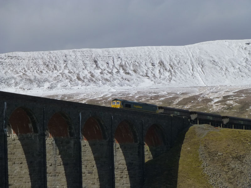
Freightliner on the Viaduct |
Ingleborough |
The visitors enjoyed the "tour" of the viaduct; there are no badge-wearing, smartly dressed attendants here; you don't pay to park; there are no souvenirs other than those you capture with your camera and hold in your memory.
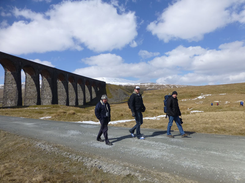
Richard, Ken and Pete
It seemed like a good idea to go to the pub.
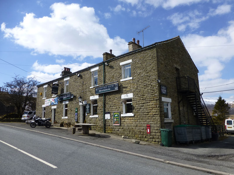
Station Inn, Ribblehead
Dirty boots and dogs welcome! We had generous portions of good food in a very friendly and warm environment. The guys wanted to catch the 14:02 for Carlisle, where they would have a little time on the platforms before catching the same train all the way back to Leeds. Maybe they would see No.60009 preparing for the next leg of her journey - Carlisle to Newcastle.
 |
 |
 |
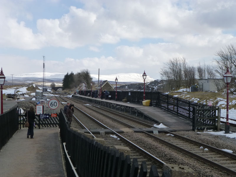
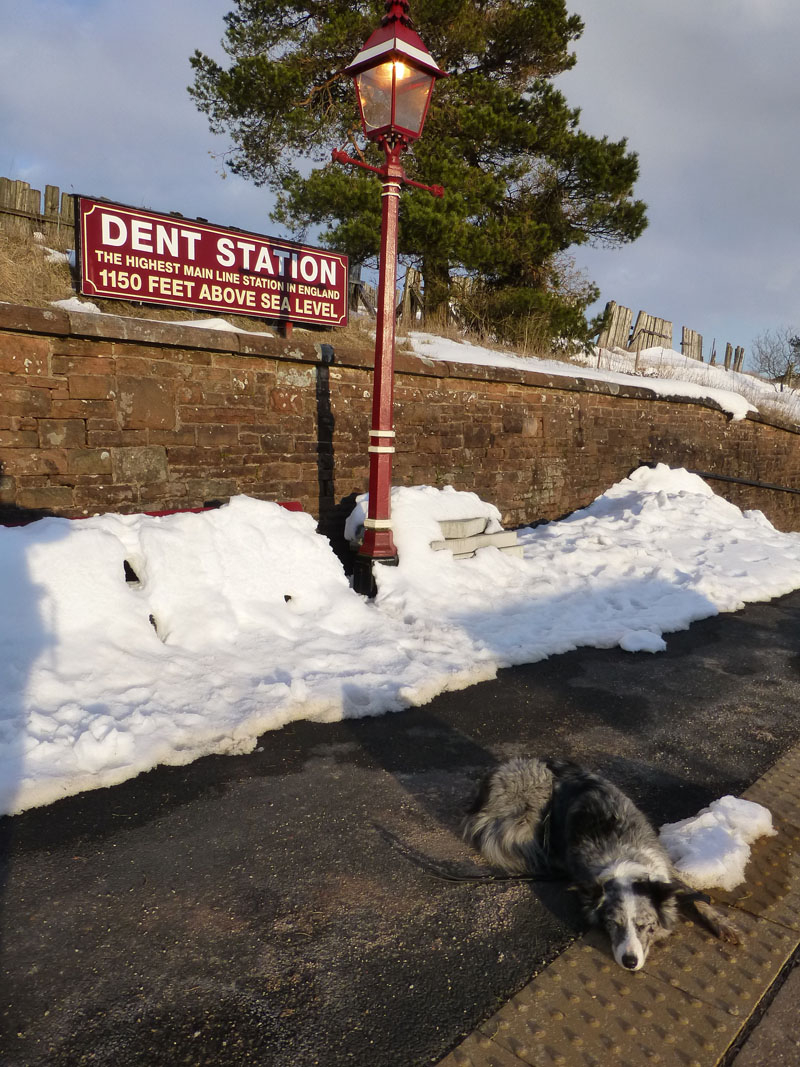
Ribblehead Station, Izzy the Dog and the train leaving Dent for Carlisle
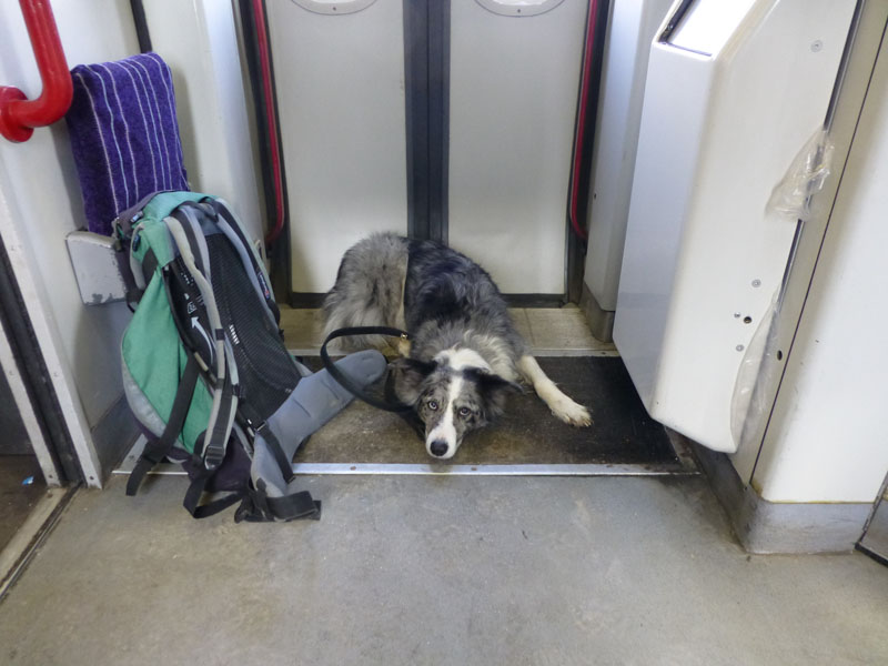
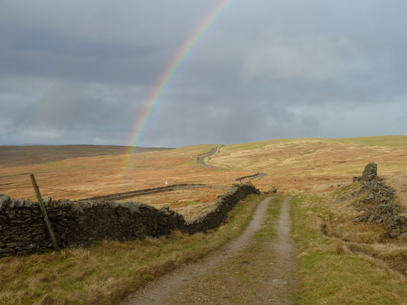
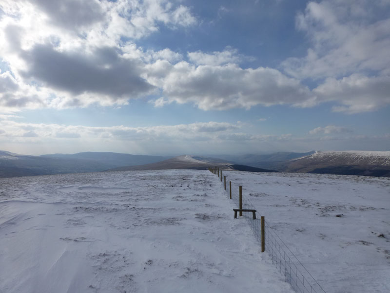
Did I mention that I had Izzy with me? I decided to take the short trip over the viaduct, through the tunnel, along the fell side over Arten Gill to Dent Station. Is there a better way of spending £3.80 on a railway ticket than this short journey? Cheerio R,K & P! Izzy and I head up the unglamorously nominated U5509 Lea Yeat, the road to Garsdale.
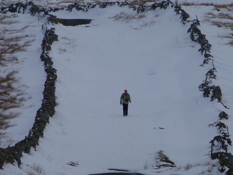
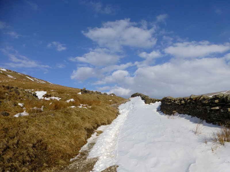
The U5509 - Closed!
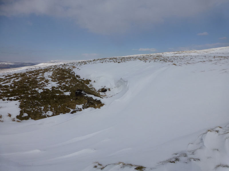
A walker enjoys the unusual conditions on the road. As the road has no great purpose beyond the railway station, no effort or expense has been made to clear the snow.
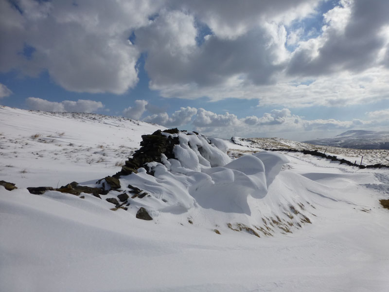
Snow Covered Road
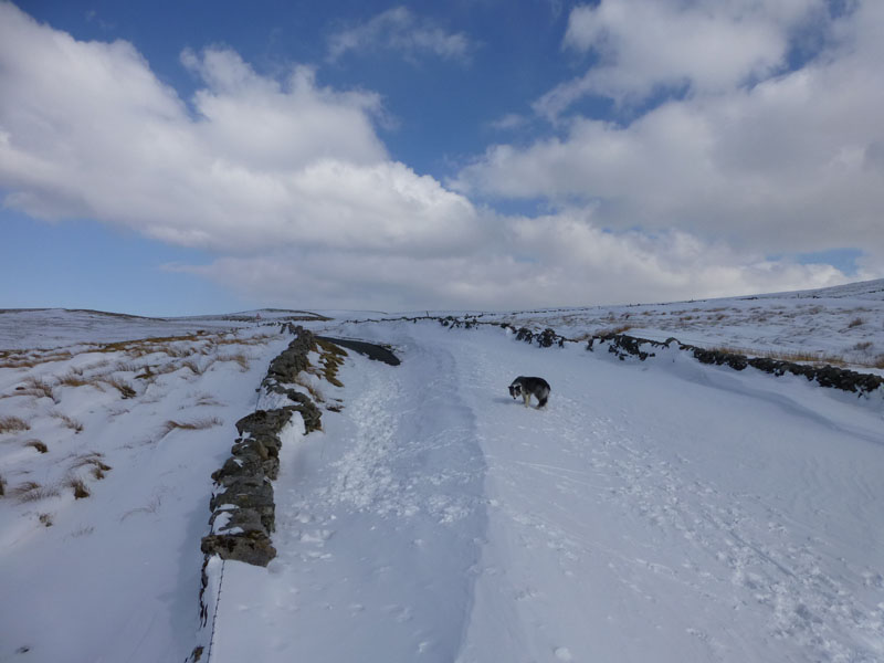
The ridge of the drift crosses the road and goes over the wall, on which I am stood. The snow has hardended, gives a little but carries my weight. I was throwing snowballs for Izzy, but she had some difficulty finding them!
 |
 |
The Coal Road 30th March 2013 |
The Coal Road 3rd March 2012 |
 |
 |
Snow Drifts |
Deep Snow - Sink Holes |
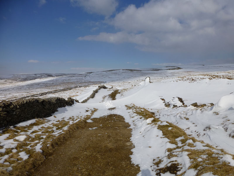
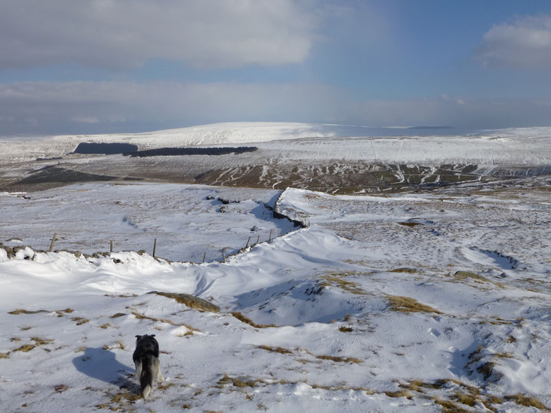
We had no agenda, but chose to walk along the Coal Road on the flank of Great Knoutberry Hill. The paper map shows a wall/fence up to GKH summit from the corner of the coal road, but there was none in evidence. Further on, another "black line", this time a fence is clearly seen and heads for the summit. I chose to give it a go with the aid of this guide. Deep snow is a serious challenge for any walker and fatigue can lead to poor decision making. The newly repaired fence and my knowledge of the wall on the other side gave me confidence.
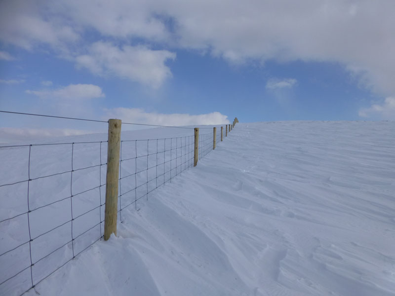
The Fence
Faint evidence of another walker's footprints. Is following someone else's footprints a good idea? Did they know where they were going? You might go straight over a cliff edge!
 |
 |
Great Knoutberry Hill Summit |
Last Time - 3rd March 2012 |
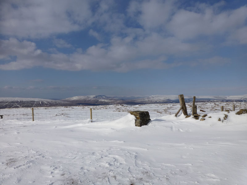
On the earlier occasion I wished I was somewhere else; this time I can't think of many better places to be. Splendid isolation in an unfrequented area, clear air, snow all around and vast views to all four points of the compass.
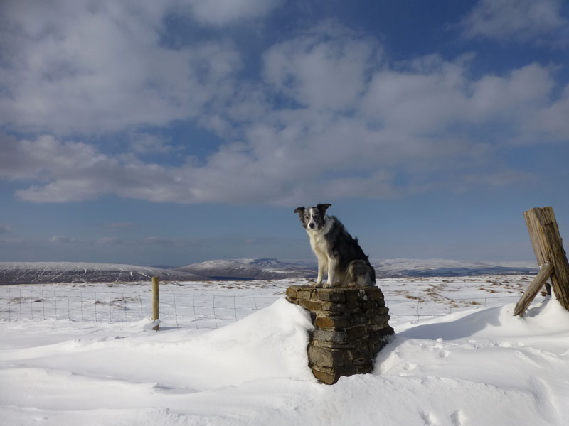
Izzy the Dog
The county boundary crosses the summit, putting Izzy's rear end in North Yorkshire and her front paws in Cumbria. Here are some of the fells on view from Great Knoutberry Hill
Wild Boar Fell
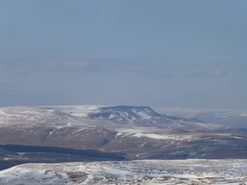
Pen-y-Ghent
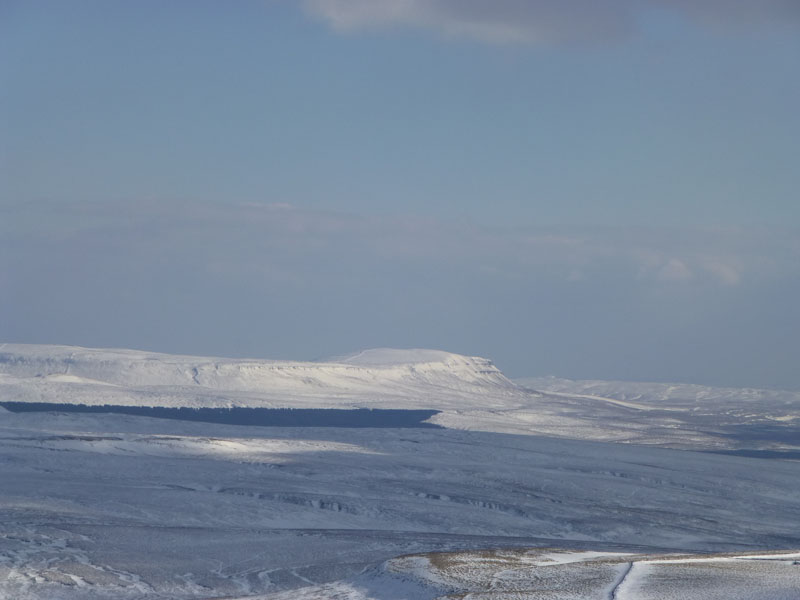
Ingleborough
Aye Gill Pike (l) East Baugh Fell (r)
Descent Route
The wall leads to Arten Gill and the track down to Dentdale, Dodd Fell is further away.
Arten Gill
Looking back up the Arten Gill drover's route, after the first part of the descent.
Arten Gill Viaduct
~~~~~
 |
 |
Stonehouse Farm |
Notwidenough Bridge |
Stone House
The bridge over the river is often damaged and the parapet is frequently repaired. I had a tough decision to make: 40 minutes to get back to Dent Station, including a severe uphill slog at the end or a long haul over Blea Moor. I went for the Dent Station option. If I missed the train, I would have had nearly two hours to wait for the next one.
 |
 |
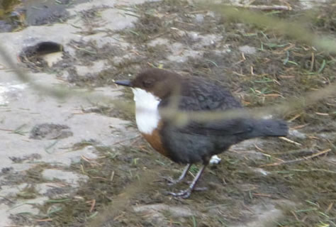
Dipper |
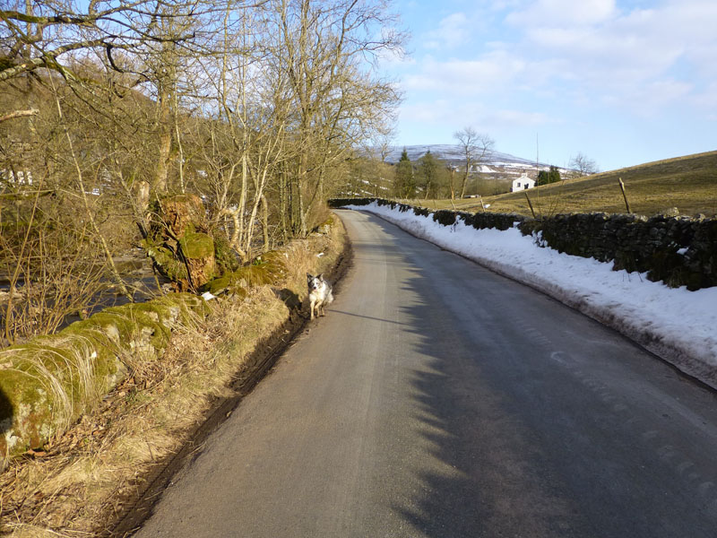
Dent Road |
 |
 |
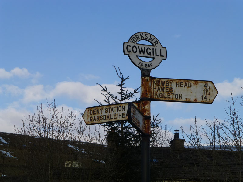
Cowgill Junction |
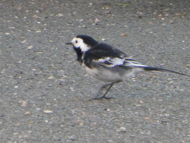
Pied Wagtail |
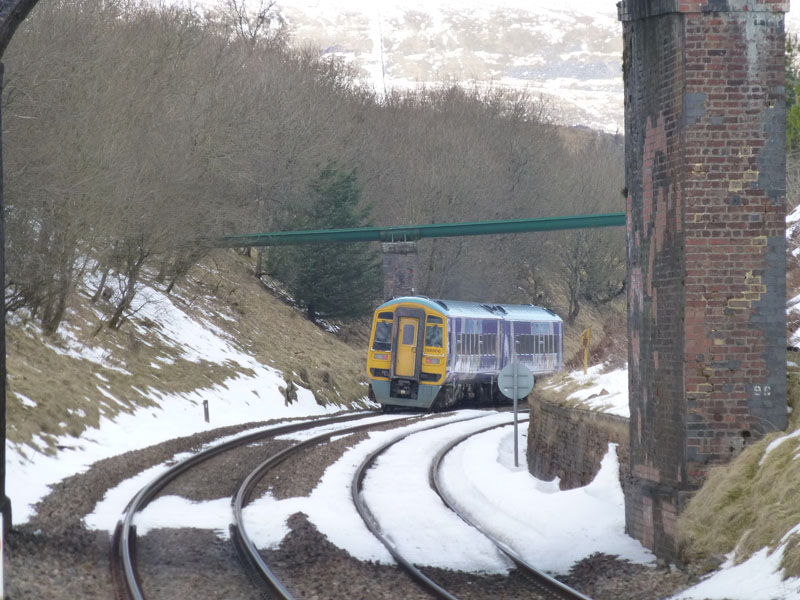
We arrived at Dent Station with five minutes to spare - it's a 400ft ascent up the road from the junction. Today's birds are a little out of focus, in the case of the PW, I wish it would have kept still!
Dent Station
Time for a rest.
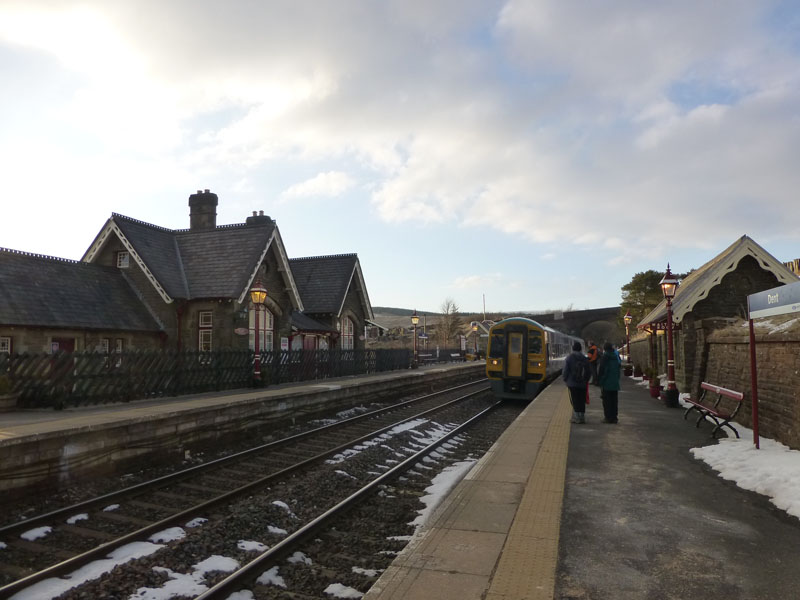
The train to Leeds at England's highest main line station.
Walkers: Me and Izzy The Dog
Time taken: 3 hours 10 minutes over a distance of about 7 miles.
Route: Dent Station, U5509, Coal Road, fence up to Great Knoutberry Hill Summit, wall down to Arten Gill drover's route, Arten Gill viaduct, Dent Road to Cowgill and up the U5509 to Dent Station.
Weather: Bright and sunny, cold with a light breeze.
Greetings: The man on the snow-filled road, one other who we passed twice - he was doing much the same route in the other direction.
Footnotes:
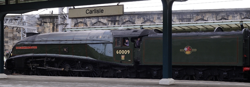
The South Africans saw The Union of South Africa at Carlisle in readiness for the next leg of the train's journey:
by Peter Gillatt 30th March 2013
The digital verison of the mapping for Great Knoutberry Hill shows a path, where a physical boundary is shown on the paper copy. Confusing in good light, dangerous in poor visibilty.
All photos copyright Richard Ratcliffe 2013 ©
Contact Me via email - If you don't use "Outlook", just read the email address and send me a message from your usual email facility. Comments might be published, please tell me if you don't want that to happen and I will also edit messages if they contain personal stuff that the world doesn't need to see. Hover your pointer over the link and the target might appear in the bottom left of your screen.
Take me back to the start ....